Plan of St Mary’s Churchyard, Goudhurst 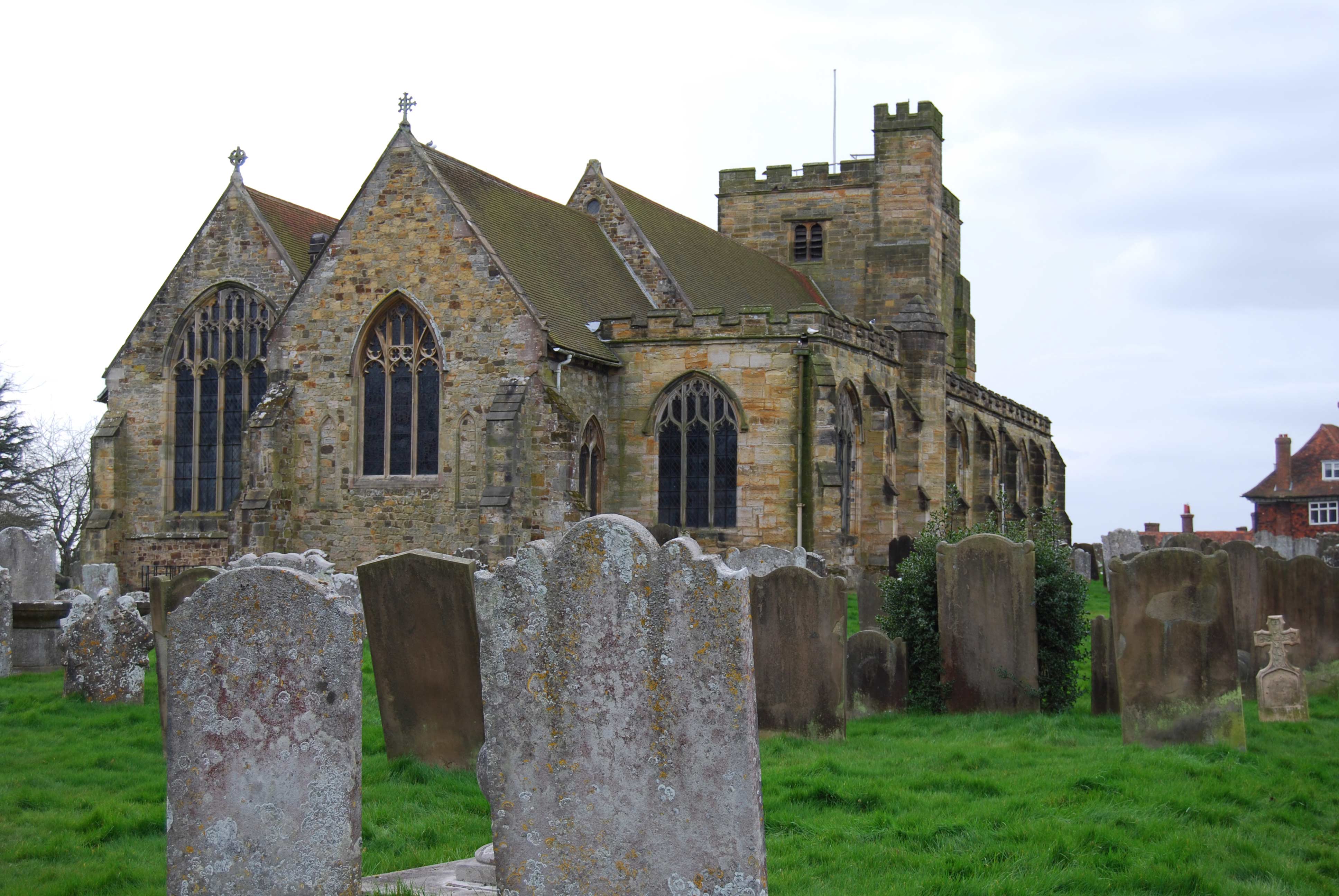
Section Maps – showing location of headstones.
Section Plan, St Mary’s Churchyard, Goudhurst
The map will open as a multiple page PDF file.
Section Plan – Ashes – included in Section 12
One page PDF
Each section of the churchyard map has been recorded as a separate page. Within each map the location of existing memorials are shown with a blue background. Where a memorial no longer exists, but was previously recorded by Leland Duncan the background has been left white. The red numbers on the maps correspond to the numbers on the list of memorial inscriptions on the Kent Archaeological Society website.
See also the index to gravestones pages: sections 1-5 and sections 6 -13
Photographs of Gravestones
| Section 1 | Section 2 | Section 3 |
| Section 4 | Section 5 | Section 6 |
| Section 7 | Section 8 | Section 9 |
| Section 10 | Sections 11,12,13 | Section 12 – Ashes |